South Phoenix Food Access Project
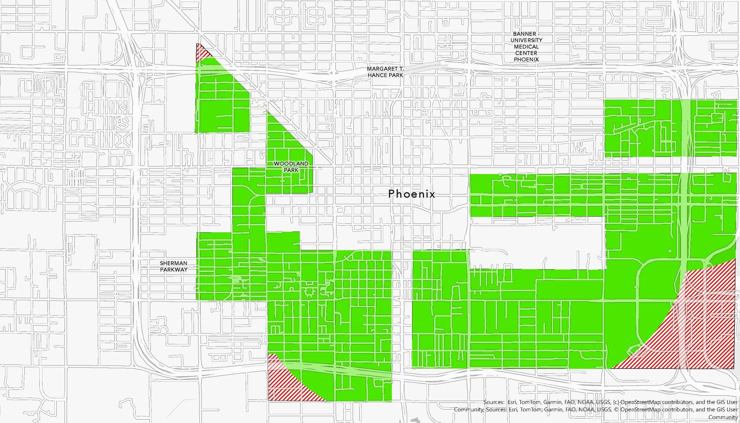
This project examines food access disparities in South Phoenix’s historically redlined Low-Income, Low-Access (LILA) neighborhoods, where the legacy of segregation and disinvestment continues to shape community well-being.
Through geospatial analysis and proximity modeling, the study evaluates the availability, distribution, and quality of food outlets—comparing distances of one mile, half a mile, and a quarter mile in accordance with USDA food access criteria. By integrating ground-truth fieldwork and spatial data, the research captures a more accurate and community-informed understanding of the food environment—one that reflects both the quantitative landscape and the lived experiences of residents.
Findings reveal a clear imbalance: limited access to grocery stores and an overabundance of convenience stores, fast-food outlets, and liquor stores restrict residents’ ability to obtain healthy, unprocessed food. Yet the research also highlights the critical role of non-traditional food sources—such as mobile markets and commercial distributors that sell directly to the public—in bridging gaps within the local food system.
By connecting historical redlining to current patterns of food availability, this project underscores the need for equitable policy interventions that expand full-service grocery access, support community food programs, and promote culturally relevant, sustainable food systems.


