Mexico City Street Food Mapping Project
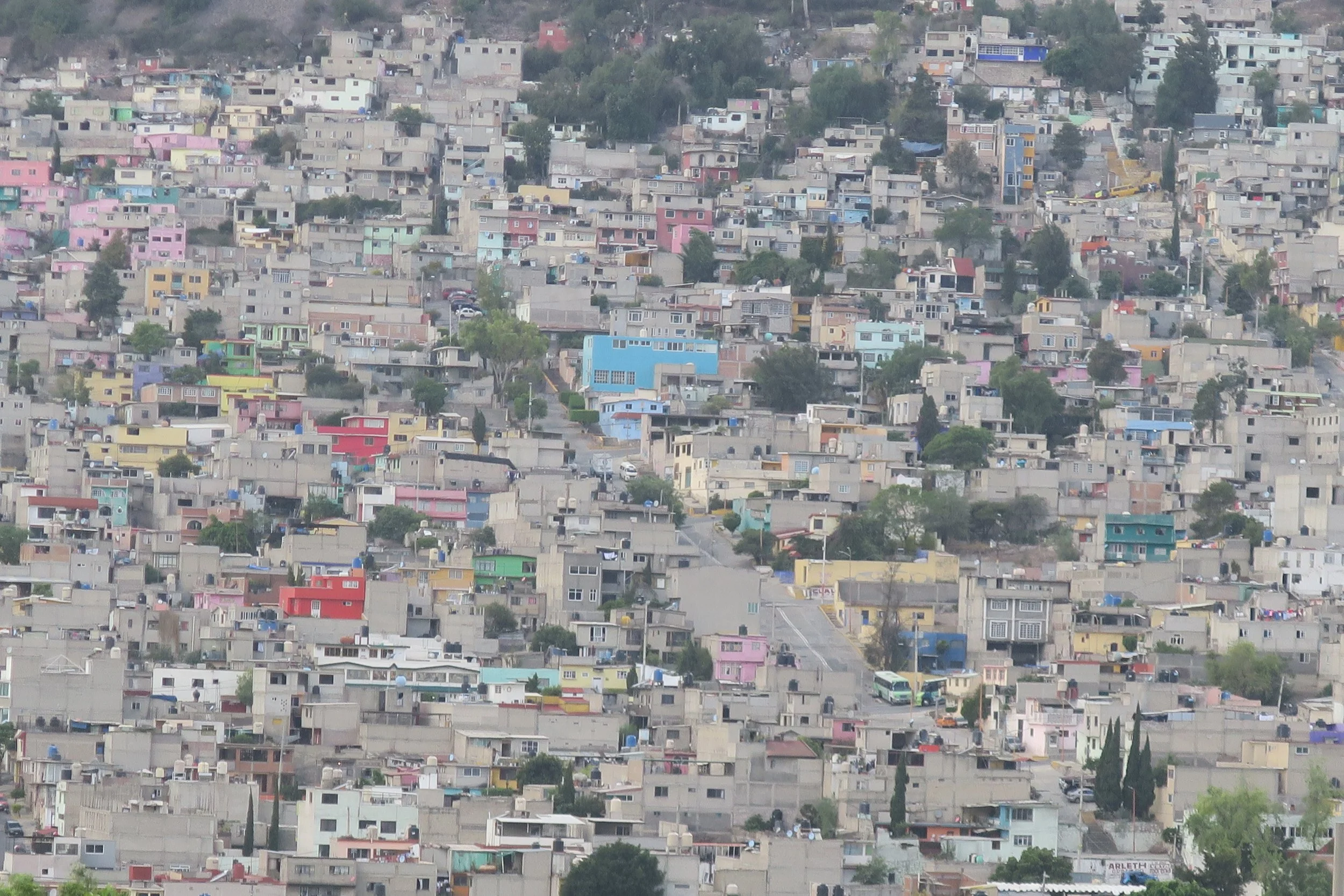
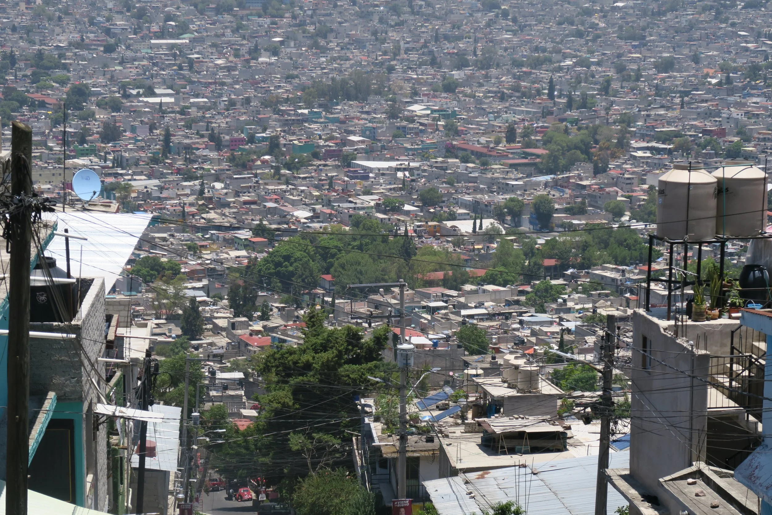
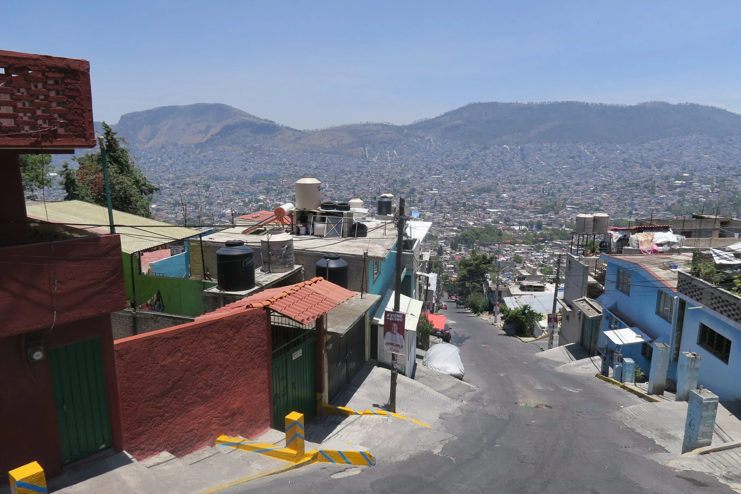
At Ursa Pixel Dynamics, our current fieldwork examines the vibrant and complex street food networks of Mexico City—a dynamic system of culinary culture, informal economies, and urban spatial relationships.
This project combines spatial analysis, photographic documentation, and on-the-ground observation to explore how street food vendors shape accessibility, community identity, and public space within one of the world’s largest cities. Through mapping and spatial interpretation, we highlight patterns of food distribution, neighborhood character, and the cultural geography that defines Mexico City’s everyday life.
More than a visual study, this work celebrates the resilience and creativity of informal food systems—showing how local vendors sustain community livelihoods and preserve cultural heritage. The final deliverables will include a spatial narrative exploring how food, space, and identity intersect across Mexico City’s streets.