Cross-Border Landscapes: Geospatial Perspectives on Change and Connectivity
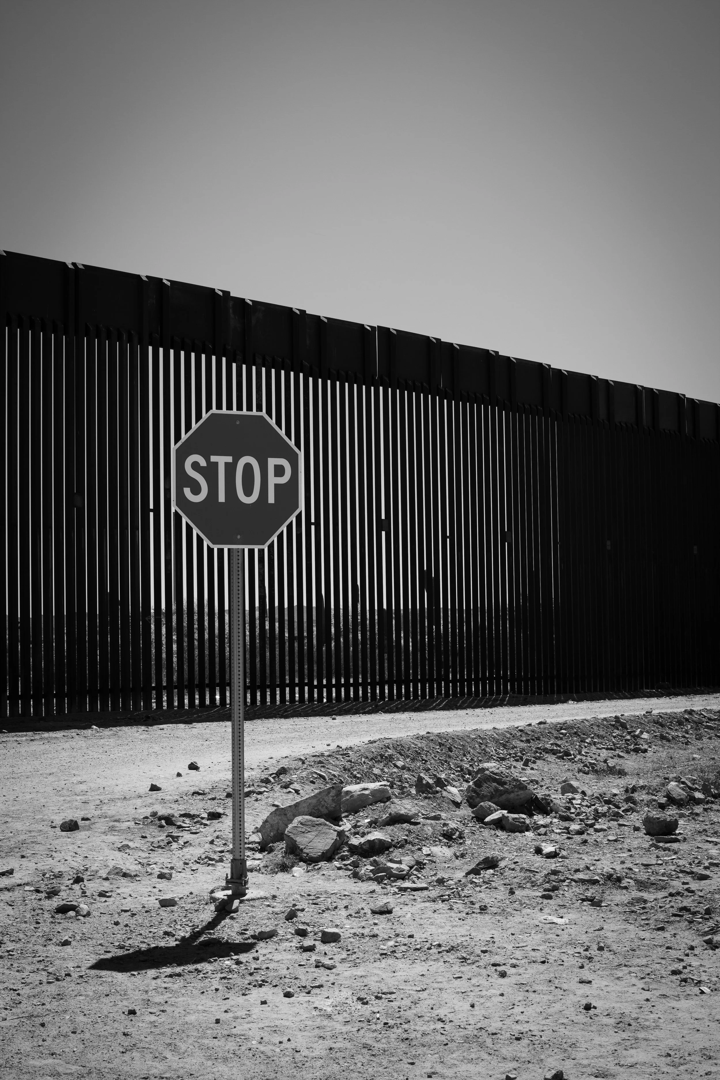
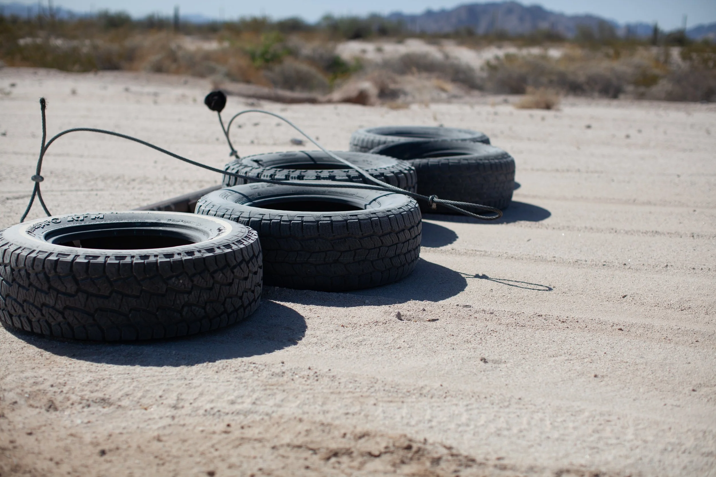
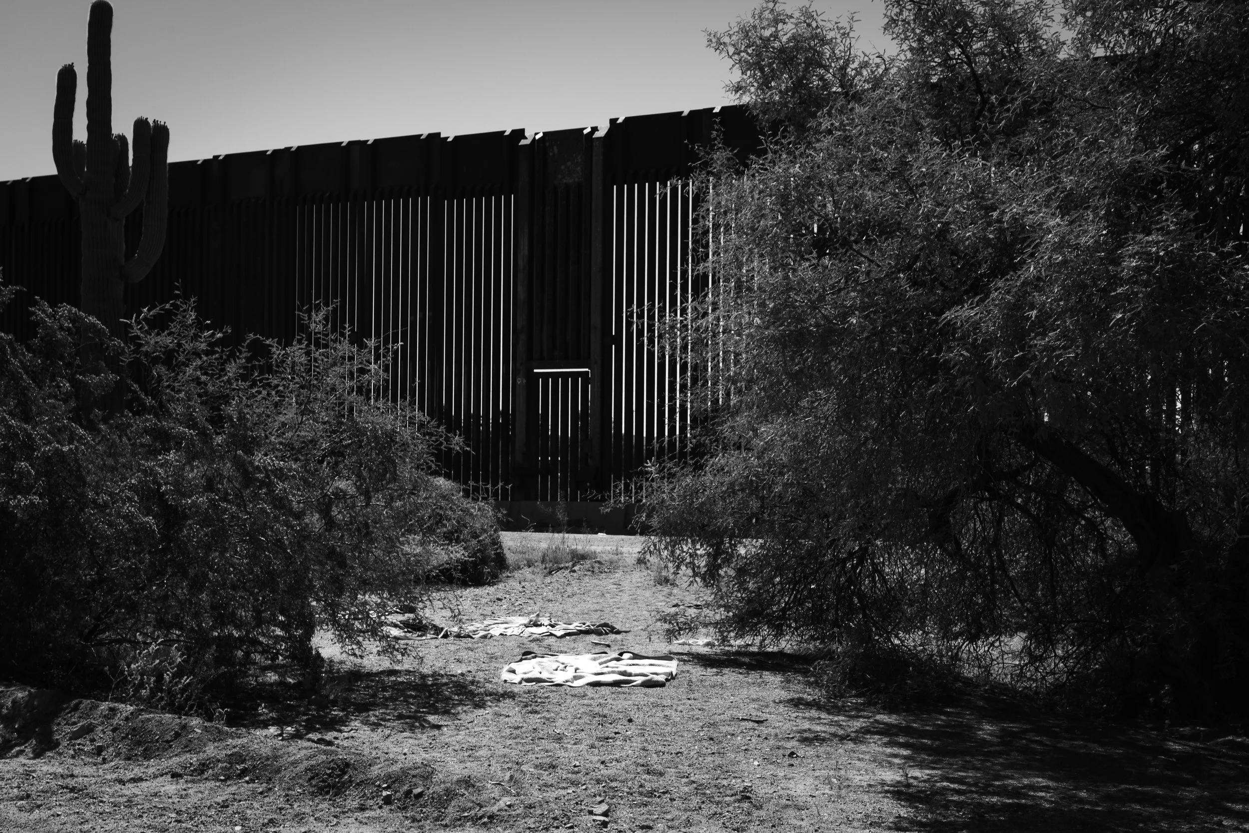
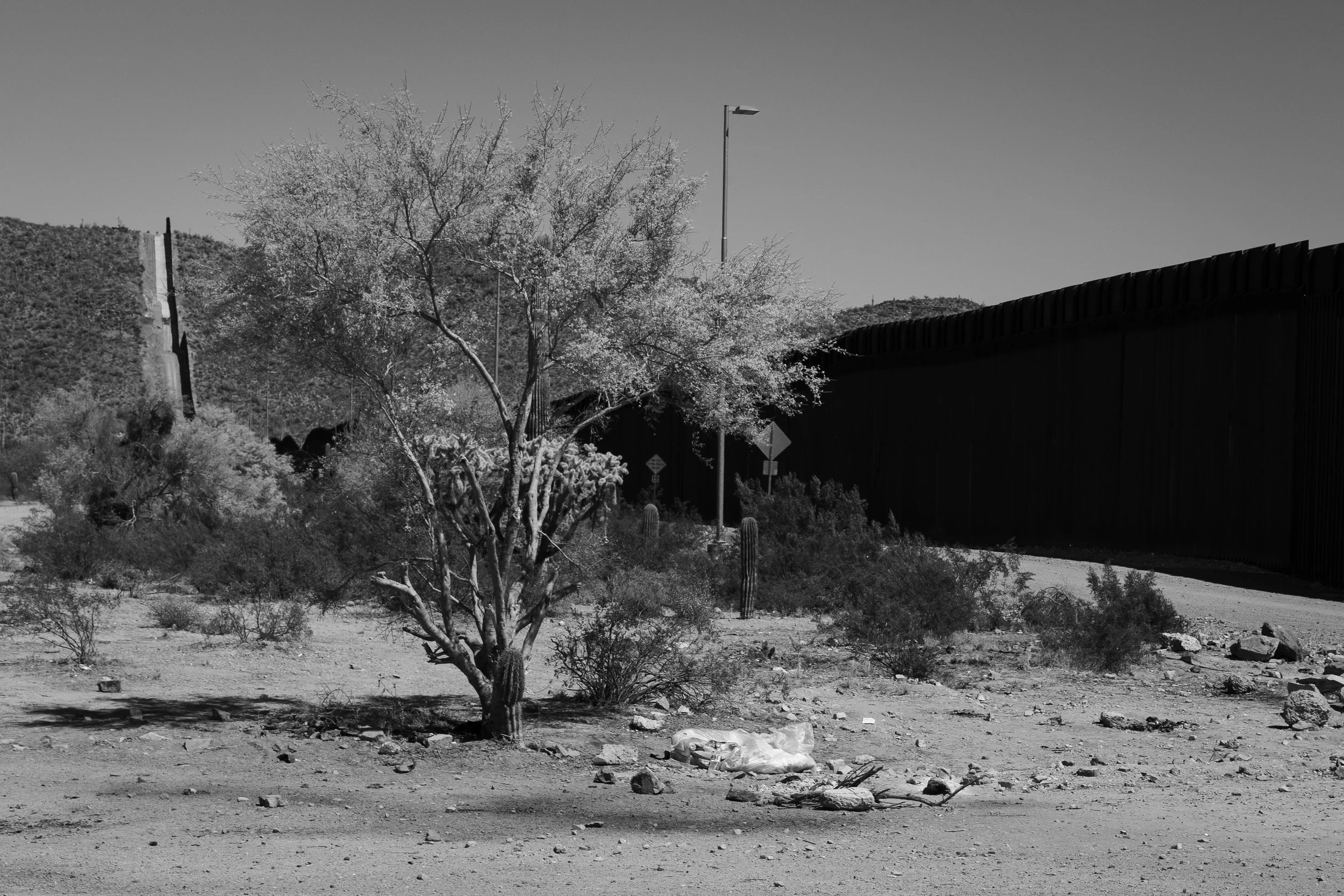
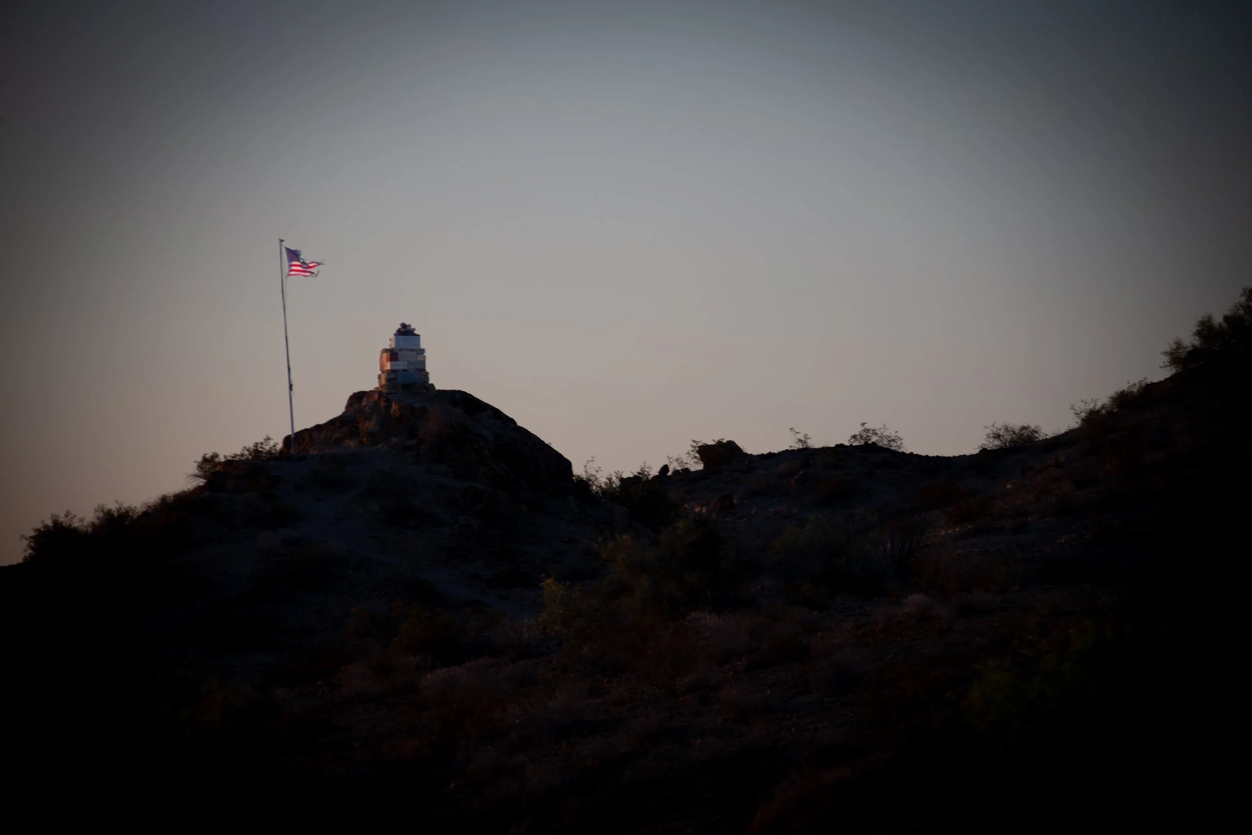
This project explores the dynamic social and environmental transformations unfolding across the U.S.–Mexico borderlands. Using advanced geospatial analysis, imagery, and remote sensing, Ursa Pixel Dynamics visualizes how infrastructure, migration, and ecological systems intersect in these transboundary regions. By integrating spatial data with field observation, the project reveals patterns of connectivity, adaptation, and resilience that shape both human and natural landscapes across the border.