
Ursa Pixel Dynamics blends the precision of geospatial science with the creativity of visual storytelling. By integrating GIS, remote sensing, and analytical visualization, we help uncover relationships, identify patterns, and solve real-world problems. Every project — from aerial mapping to spatial research — reflects our belief that every pixel has purpose and that understanding place begins with perspective.
Our Services
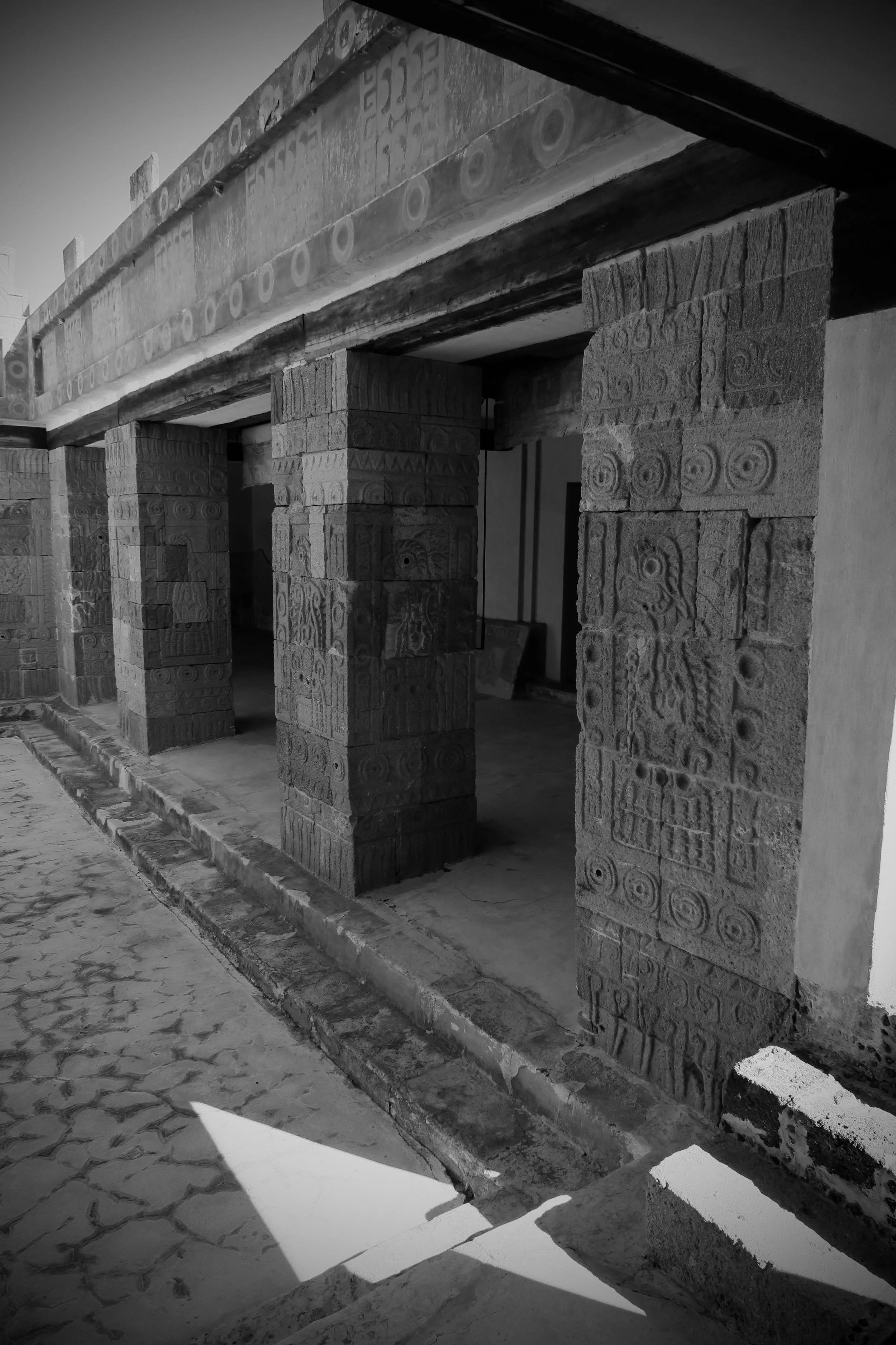

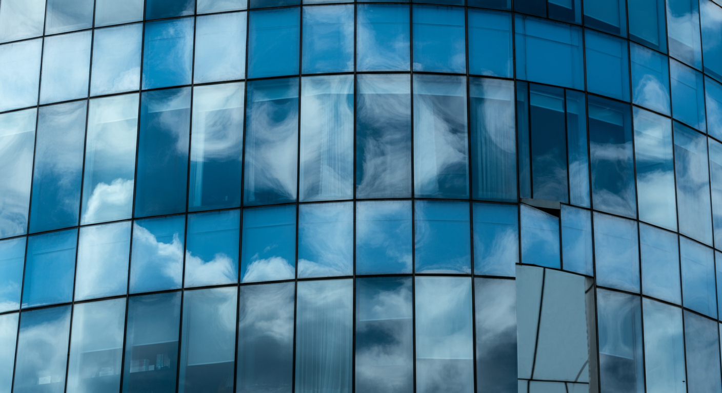
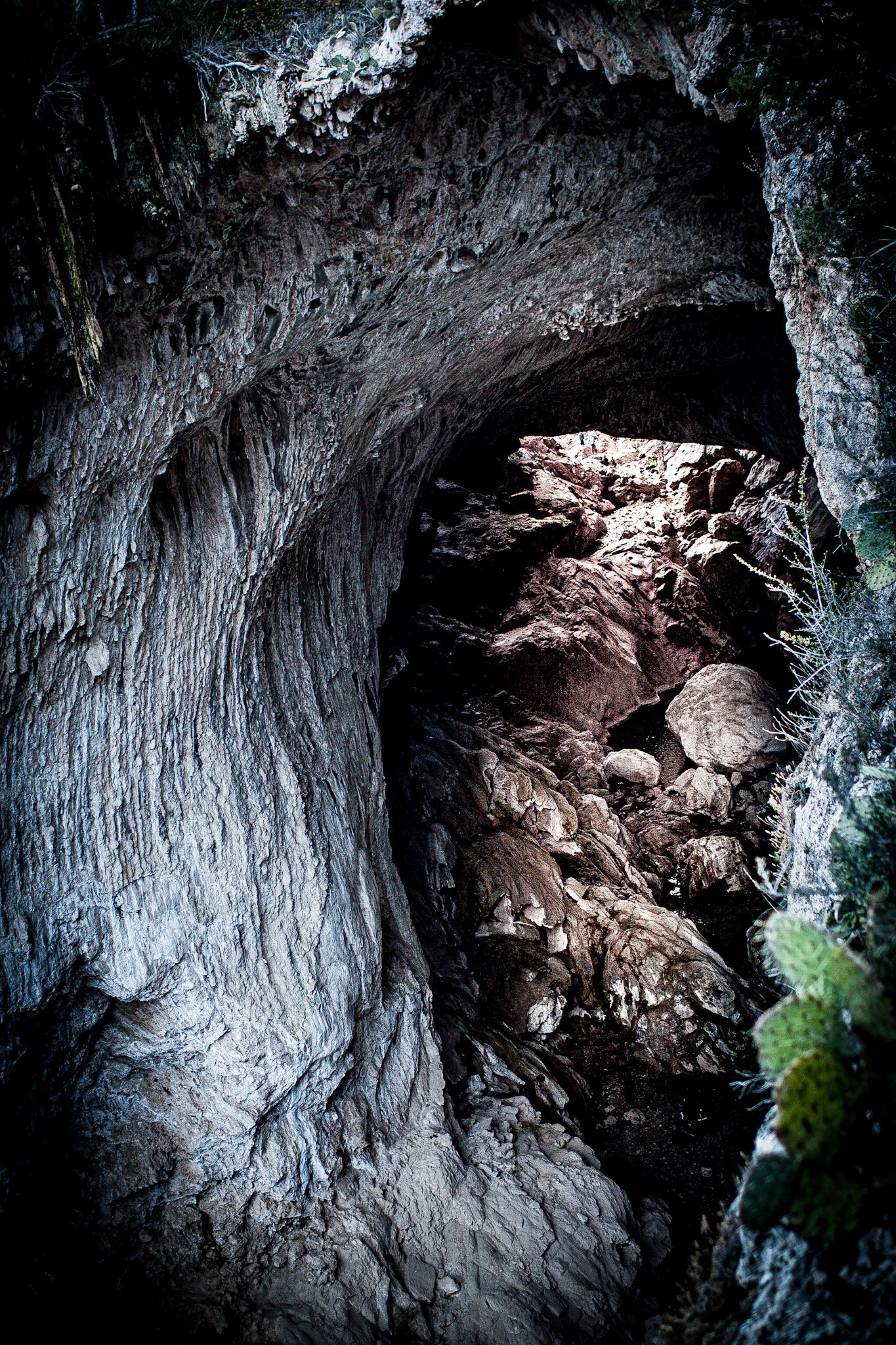
At Ursa Pixel Dynamics, photography is more than imagery — it’s data, emotion, and story fused together. We capture landscapes, cityscapes, and human moments with precision, blending the art of visual storytelling with the science of spatial understanding.
Our work bridges the line between aesthetic composition and geospatial intelligence. Every photograph tells a story about place — from aerial panoramas revealing the geometry of our environments to fine-detail portraits that showcase the human scale within them.
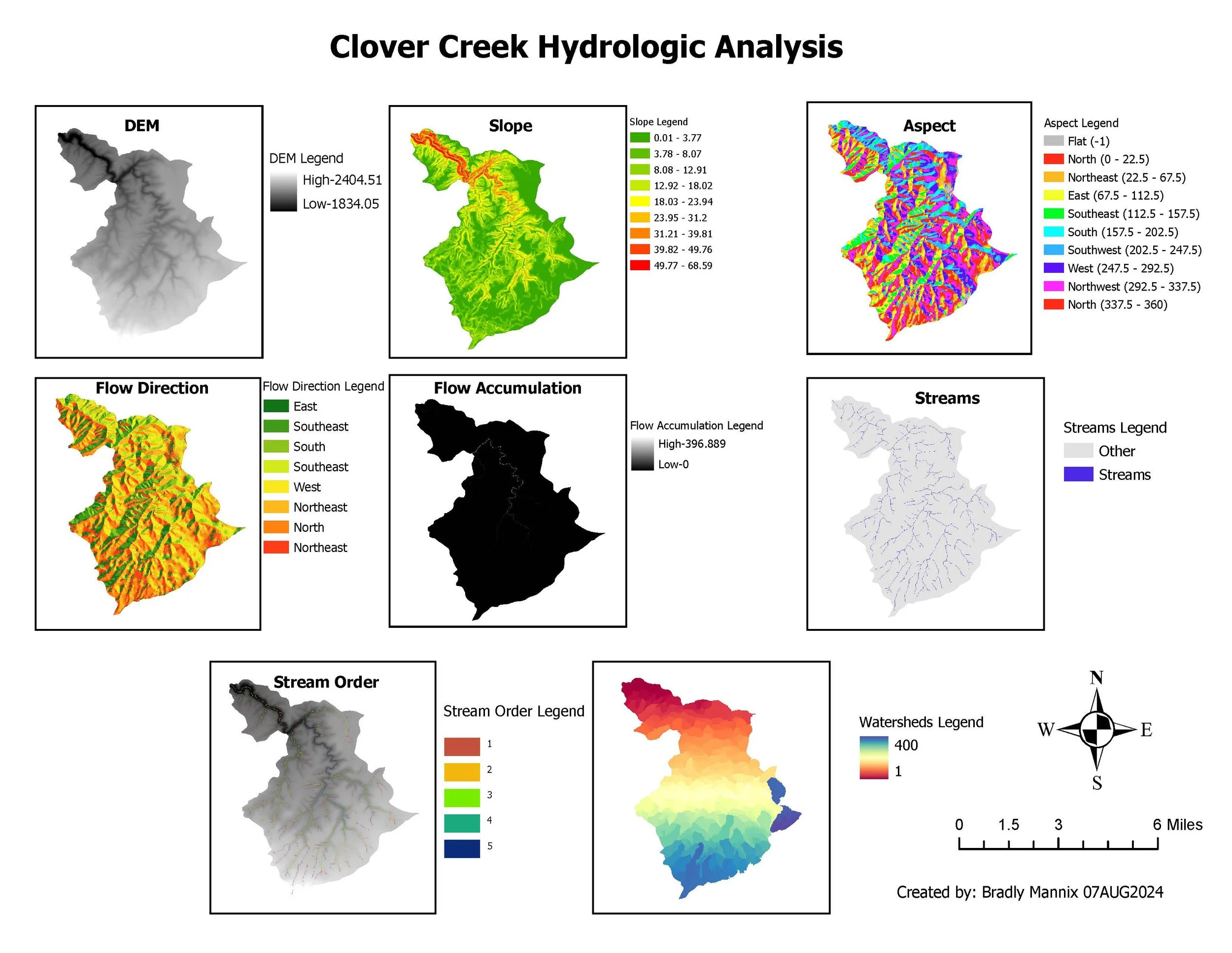
At Ursa Pixel Dynamics, we use spatial analysis to transform geographic data into meaningful knowledge. By applying advanced analytical techniques, we examine relationships, discover patterns, and solve complex spatial problems that shape our world.
Our approach blends scientific precision with geospatial creativity — integrating GIS, remote sensing, and data visualization to reveal connections hidden in plain sight. Whether mapping food access disparities, analyzing environmental change, or modeling spatial accessibility, we transform raw data into actionable intelligence.
At Ursa Pixel Dynamics, our upcoming In-House Remote Sensing program will expand how we collect, interpret, and apply geographic information. Using advanced drone platforms and multispectral imaging systems, we’ll be able to observe and analyze Earth’s surface with unmatched detail and flexibility.
Remote sensing allows us to gather environmental and spatial data from a distance — capturing patterns of land use, vegetation health, surface temperature, and urban change. By integrating these observations with our GIS and spatial-analysis workflows, we can deliver a complete picture of the landscapes we study.

Follow us on social


Contact Us
*
Contact Us *
Interested in working together? Fill out some info and we will be in touch shortly. We can’t wait to hear from you!